What makes a dune?
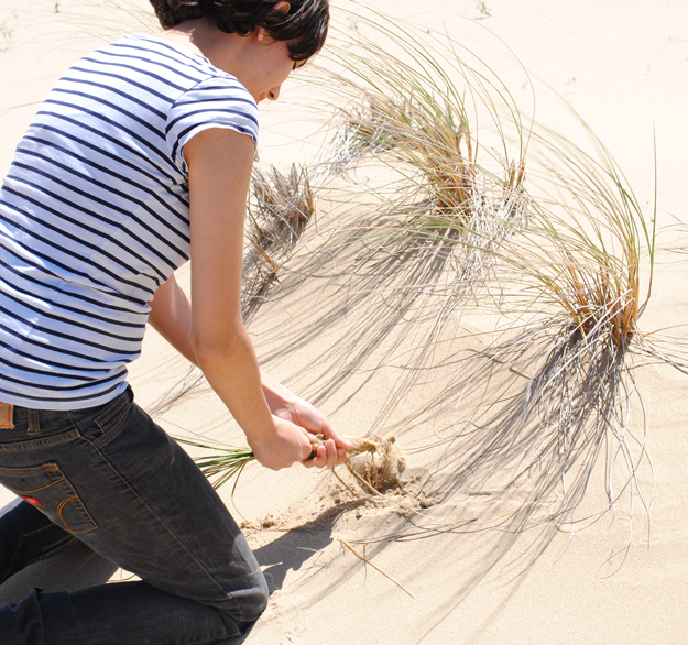
The Oregon dunes is fifty-four miles of continuous sand between Heceta Beach and Cape Arago, varying in width from less than one to nearly three miles.
To understand how a sand dune forms, one must travel far back through geological time, to over 45 million years ago, when shifting tectonic plates caused earthquakes, volcanic eruptions and massive floods that led to the formation of the mountains and rivers we see in Oregon today.
These mountain-building events pushed rock up toward the Earth’s surface, where they became the Cascades and Coast Range, giving western Oregon its unique form.
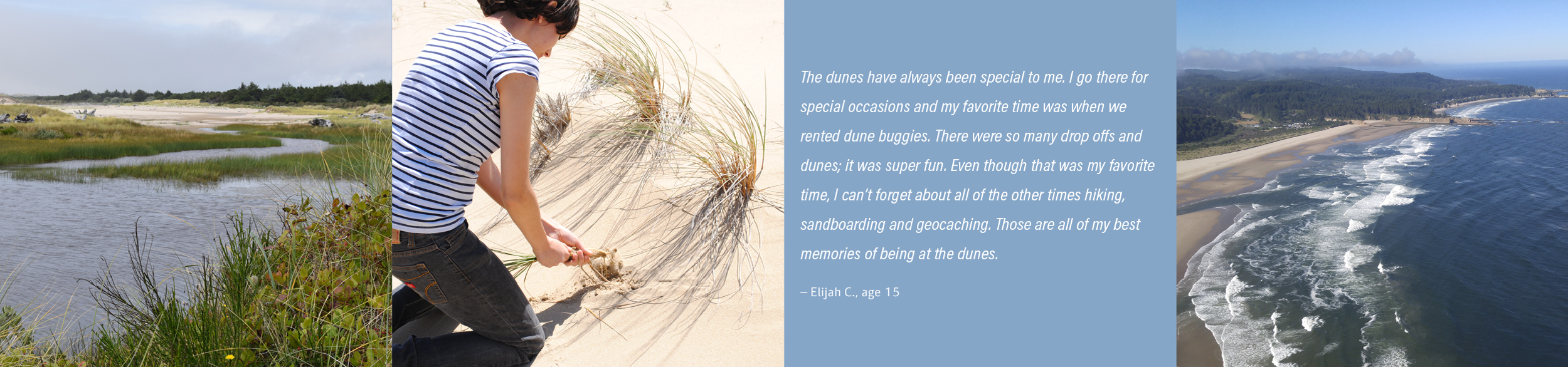
Eons of weathering washed rocks and sediment down from these mountains into rivers and streams, where they were flushed into the sea. At the mouths of the Siuslaw, Siltcoos, Tahkenitch, Umpqua and Coos rivers are swathes of sand, where these deposits collected and were ground smooth by waves over time.
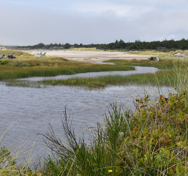
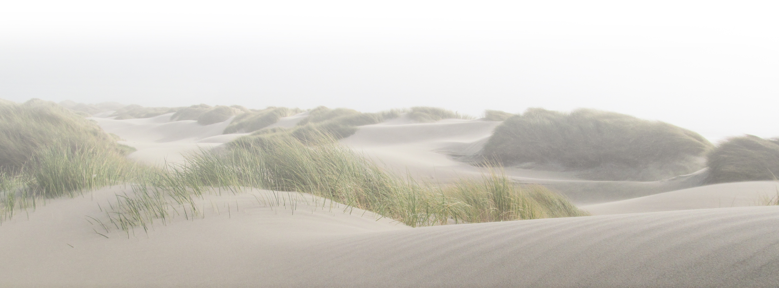
The dunes have always been in motion, shaping the landscape and the life it has sustained. Western snowy plover scratch out nests in the open sand. Pink sand verbena dot the dunes with splashes of color. Mammals hunt in the brush of transient wetlands. People play in nature’s sandbox.
Today, much of that motion has stopped, replaced by the steady march of invasive plants that prevent the sand from blowing, dramatically changing the face of this place.